GAWLER FLOODPLAIN ASSESSMENT AND MAPPING STUDY
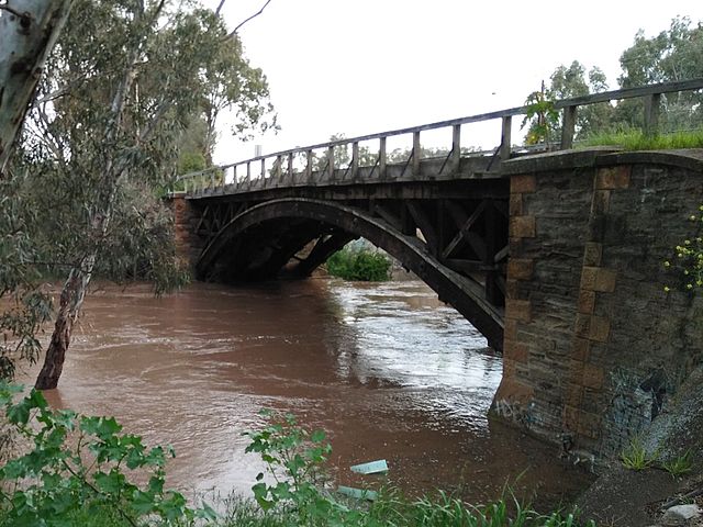
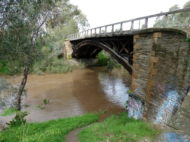
IMAGE: FLOODED GAWLER RIVER AT ANGLE VALE
This project involved developing and modelling flood mitigation strategies to deal with the high risk of flooding of the townships of Two Wells, Virginia and Gawler and the high value horticultural areas of Northern Adelaide.
Flood mitigation strategies were developed through a combined technical and community reference group process, which stepped people through the technical and social issues that also needed to be addressed by the mitigation strategies.
Services provided:
- Floodplain Behaviour and Assessment
- Hydrology Review
- Hydraulic Modelling and Validation
- Flood Risk Mapping
- Community Engagement
Scope:
Floodplain Assessment and Mapping
Location:
GAWLER South Australia
Client:
GAWLER RIVER FLOODPLAIN MANAGEMENT AUTHORITY